

JACKSONVILLE, Fla. — As we start off the month of August, let’s take a look at what we can expect in weather.
RECAP ON JULY
First though thus far it’s been quite a seesaw in meteorology this summer. June was one of the driest months on record in Jacksonville while July we had 9.92” of rainfall. Well above the average of 6.77” but shy of the record of 16” set in 1960.
The above average rainfall being attributed to our daily afternoon storms we seen for much of the month, yet no tropical systems moved over the First Coast which typically help sky rocket monthly rain totals to record levels.
Our max temperature in July was 97 and the max low 70 degrees.
AUGUST:
TEMPERATURE:
Looking ahead August is rather the same climatologically, we average a max of 91 degrees and a low of 73. The record high temperature ever record in August in Jacksonville was 102F set in 1999 with the record low being 63F set in 2005.
RAINFALL:
On average Jacksonville sees 6.68" of rainfall in the month of August. The wettest year was 2008 with 16.83". Much of this from Tropical Storm Fay that meandered its way up the Florida Peninsula through mid-August of of that year resulting in significant flooding.
The driest August on record was in 1930 with only .76" during the entire month.
Daylight:
Through the month of August we lose on average 1:40s of daylight daily. Going from 13 hours and 35 minutes on the 1st to 12 hours and 47 minutes on the 31st.
THE TROPICS:
The tropics also typically pick up through the month of August. The peak of hurricane season is in September but August is the month that most of the basin becomes conducive for tropical cyclone development.
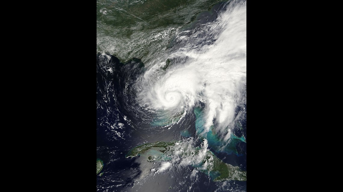
In fact at the start of this month in 2020 we had Hurricane Isaias just off of the coast of Jacksonville. This storm did not make landfall here in Jacksonville but it did just skirt our coastline before moving north in to the Carolinas.
As previously mentioned Tropical Storm Fay brought record rainfall across the entire state through mid-August of 2008.

Probably the most famous storm in our cities history, Dora formed in late August yet didn't make landfall until early September.