JACKSONVILLE, Fla. — After a day full of severe weather, the First Coast is bracing for the Nor'easter's cooler and windier impacts at the beginning of the work week.
The National Weather Service issued more than half a dozen tornado warnings Sunday afternoon and evening across Northeast Florida and Southeast Georgia, and dozens of viewers across the First Coast shared photos and videos of their perspective on the severe weather.
Here's a look at some of the images and videos First Coast News viewers sent in.
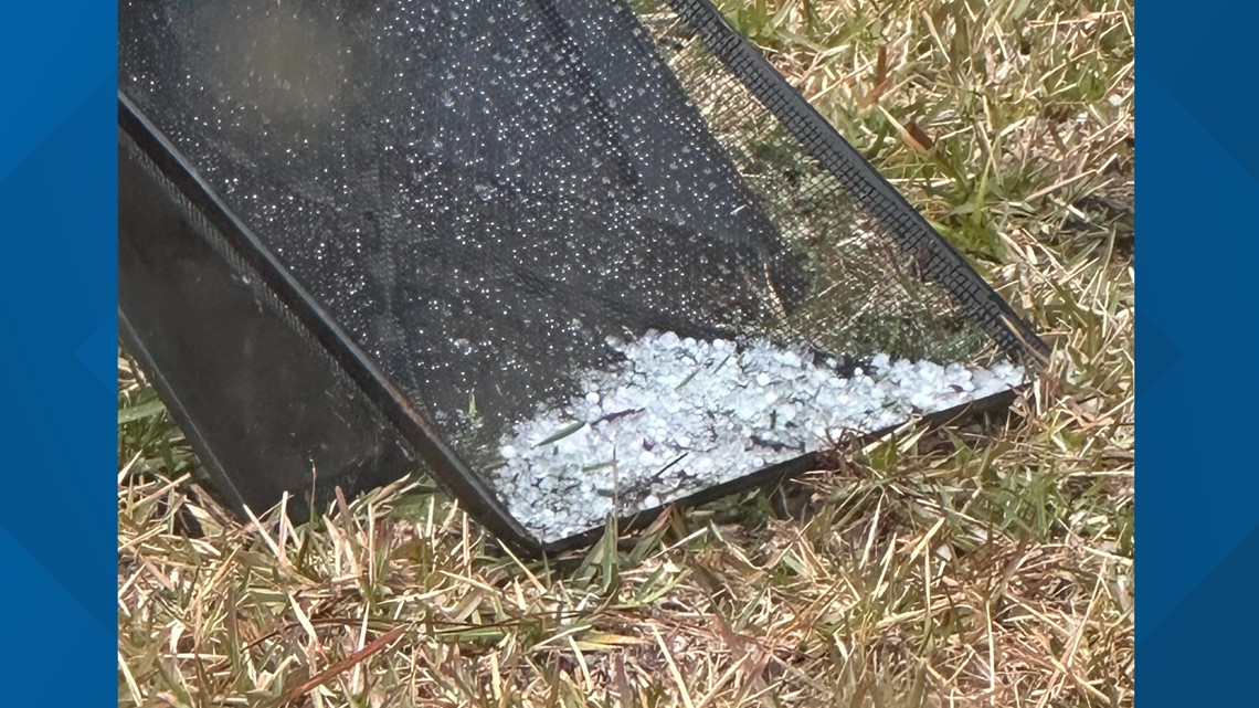
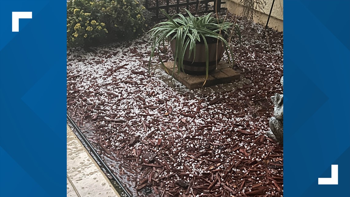
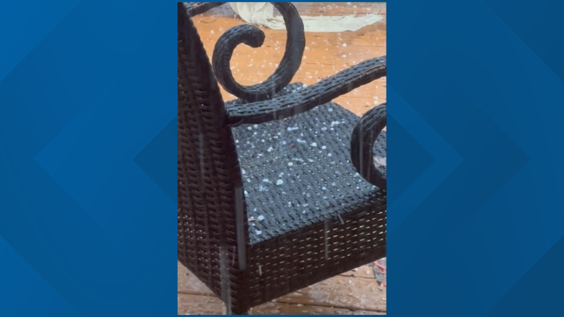
Hail seen across multiple counties
There was no shortage of hail that fell during Sunday's severe weather event.
Viewers across Duval, Nassau and St. Johns County sent in pictures showing various sizes of hail they saw in their respective areas.


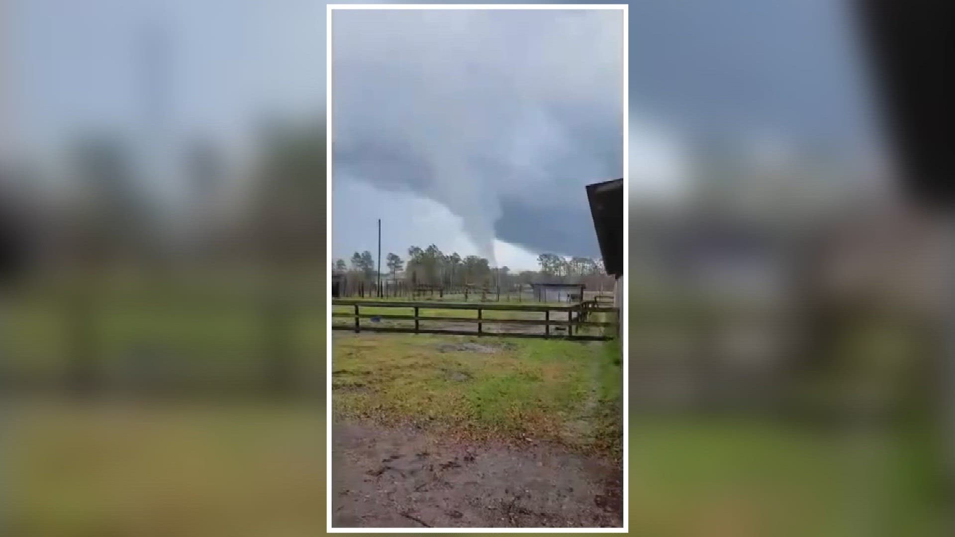
Possible tornados spotted
A viewer sent in this video from Diamond D Ranch in Duval County during the severe weather event Sunday afternoon.
Residents in a Westside neighborhood also caputured a possible tornado crossing the street during severe storms Sunday afternoon.
Another viewer located off Pritchard Road in Duval County recorded a possible funnel cloud forming in the area.
At the time the video was captured, around 5:25 p.m., the National Weather Service had a tornado warning in effect for Duval County.
Right now, the National Weather Service has not confirmed if any tornados touched down across the First Coast during Sunday's severe weather.
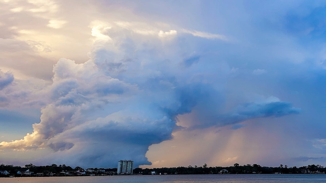
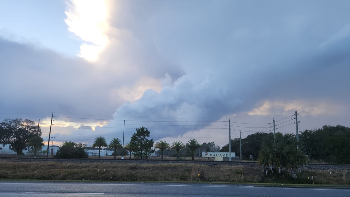
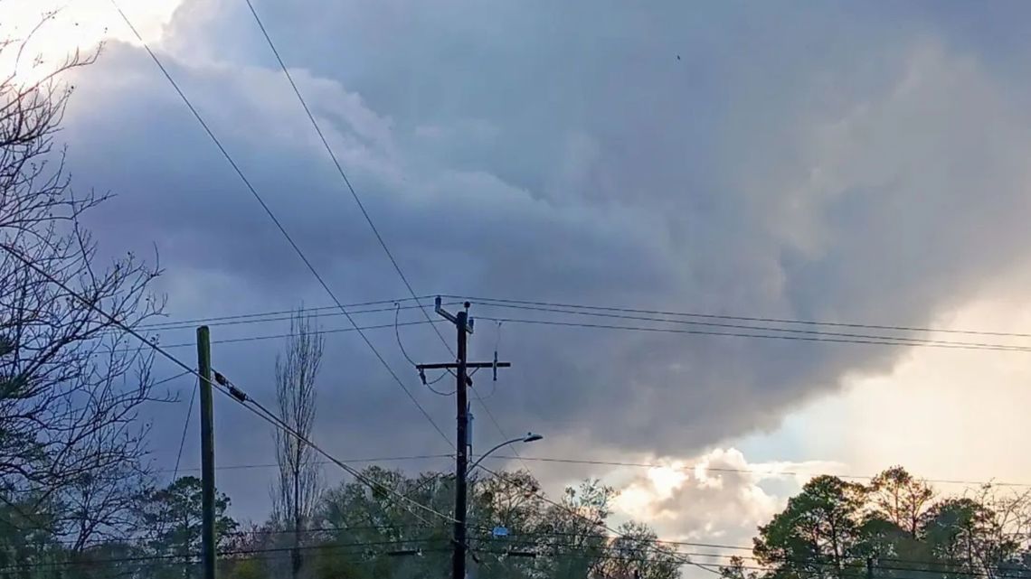
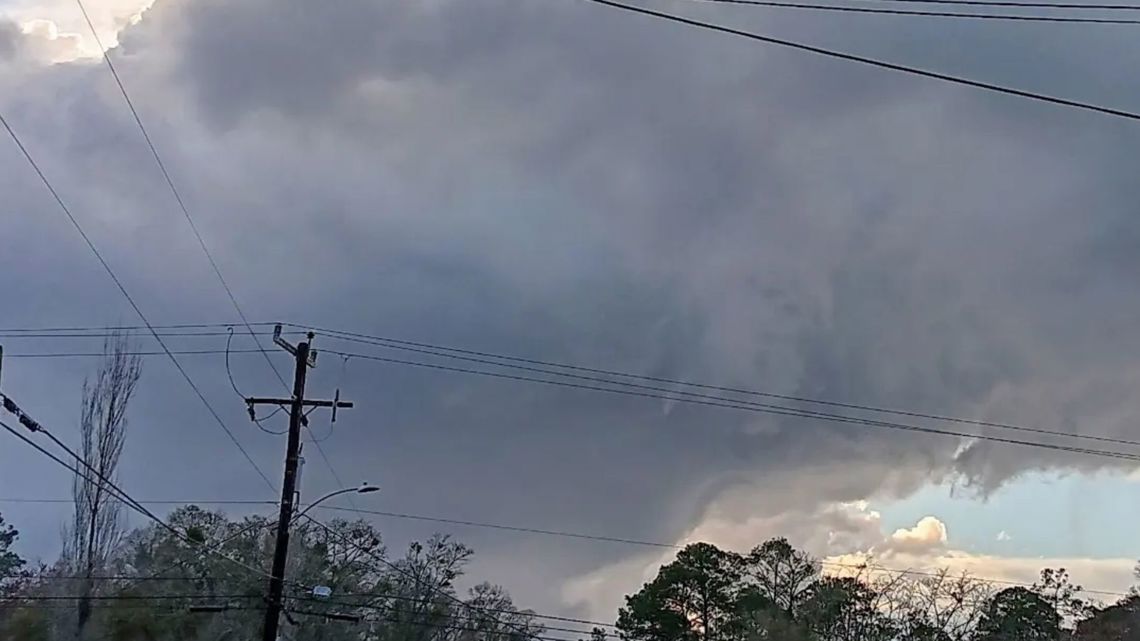
Massive storm clouds caputured across First Coast
Viewers captured storm clouds, and possible funnel clouds, during severe weather Sunday afternoon.


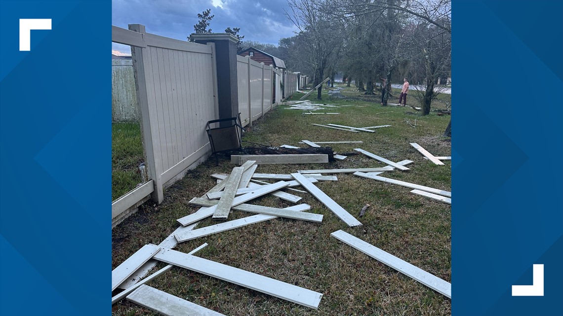
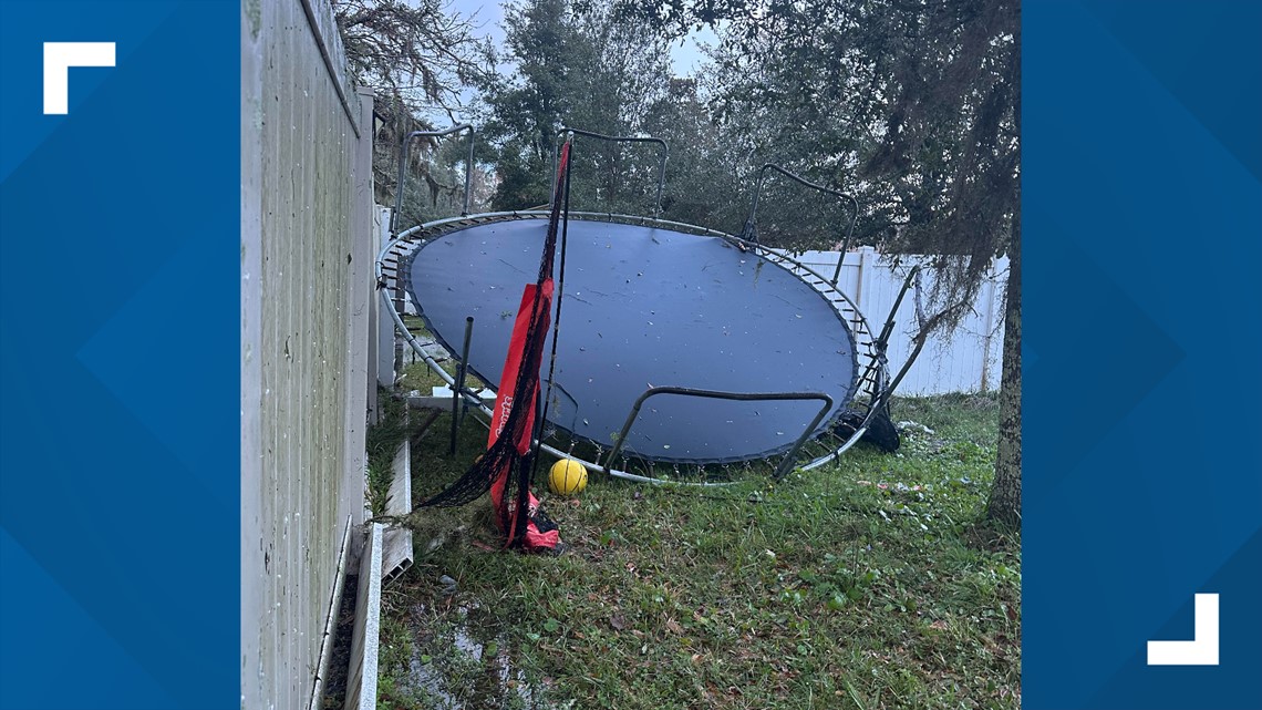
Storm Damage
One viewer located in Northwest Jacksonville shared images of the damage left behind from Sunday's storm.
She told First Coast News she was outside her residence recording a possible tornado when it "came straight at" her.


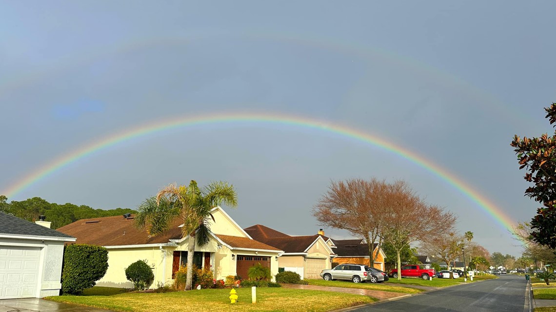
Double rainbow seen after storms
Some members of the First Coast News Weather Watchers Facebook group shared these photos of a double rainbow seen after severe weather moved through the area on Sunday.
The "calm after the storm" one could say.