JACKSONVILLE, Fla. — The City of Jacksonville has launched an "Off-Street Bikeways and Shared-Use Paths (Trails) Network Tool", an interactive map designed to show bike and pedestrian friendly routes to reach schools, employment centers, retail areas and other essential destinations throughout Jacksonville.
"It's the city’s first comprehensive inventory of existing, planned, and funded bicycle infrastructure that will provide information to help state, City, and private sector engineers and developers integrate critical network connections into their roadway designs," COJ said.
The map displays existing, funded and planned on-street and trails network facilities. Each of the layers can be toggled on/off by using the layers tool on the left-side toolbar.
Zoom in/out with your scroll wheel or "+/-" icons to get a better view of facilities in your area, print sections of interest using the print icon in the upper right corner, view/download the attributes for all or some of the facilities by opening the attributes tab at the bottom of the map.
The City of Jacksonville said its bicycle and pedestrian networks are continually expanding, enabling residents to connect to jobs, retail centers, health facilities, and other destinations by bike, foot, wheelchair, or other non-motorized mode of travel. As these networks grow in mileage and connectivity, it is the city’s topmost priority to ensure that the facilities are designed/constructed to be safe, comfortable, and to serve residents and visitors of all ages and abilities.
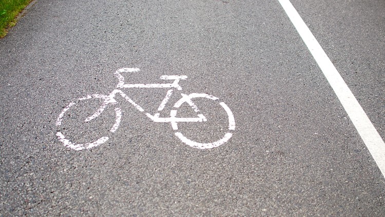
In total, the city’s on-street bikeways and trails network is made up of 887-miles of existing, funded, and planned bike lanes, buffered bike lanes, protected bike lanes, shared lanes, and shared-use paths, sometimes referred to as "trails". Existing shared-use paths comprise 55-miles of the network, with 90-miles of additional funded or planned trails in the works. Not sure what the different types of facilities are? Click HERE to read the definitions of each.
The interactive web map further provides planners with a perspective of the bicycle network, supporting the planning, prioritization, and selection of projects that will provide the most connectivity, safety, and level of comfort, for users of all ages and abilities.
Residents and visitors can visit coj.net/pedbike to view the interactive webmap and download related information. For all bicycle and pedestrian issues, please contact Matt Fall at mfall@coj.net."