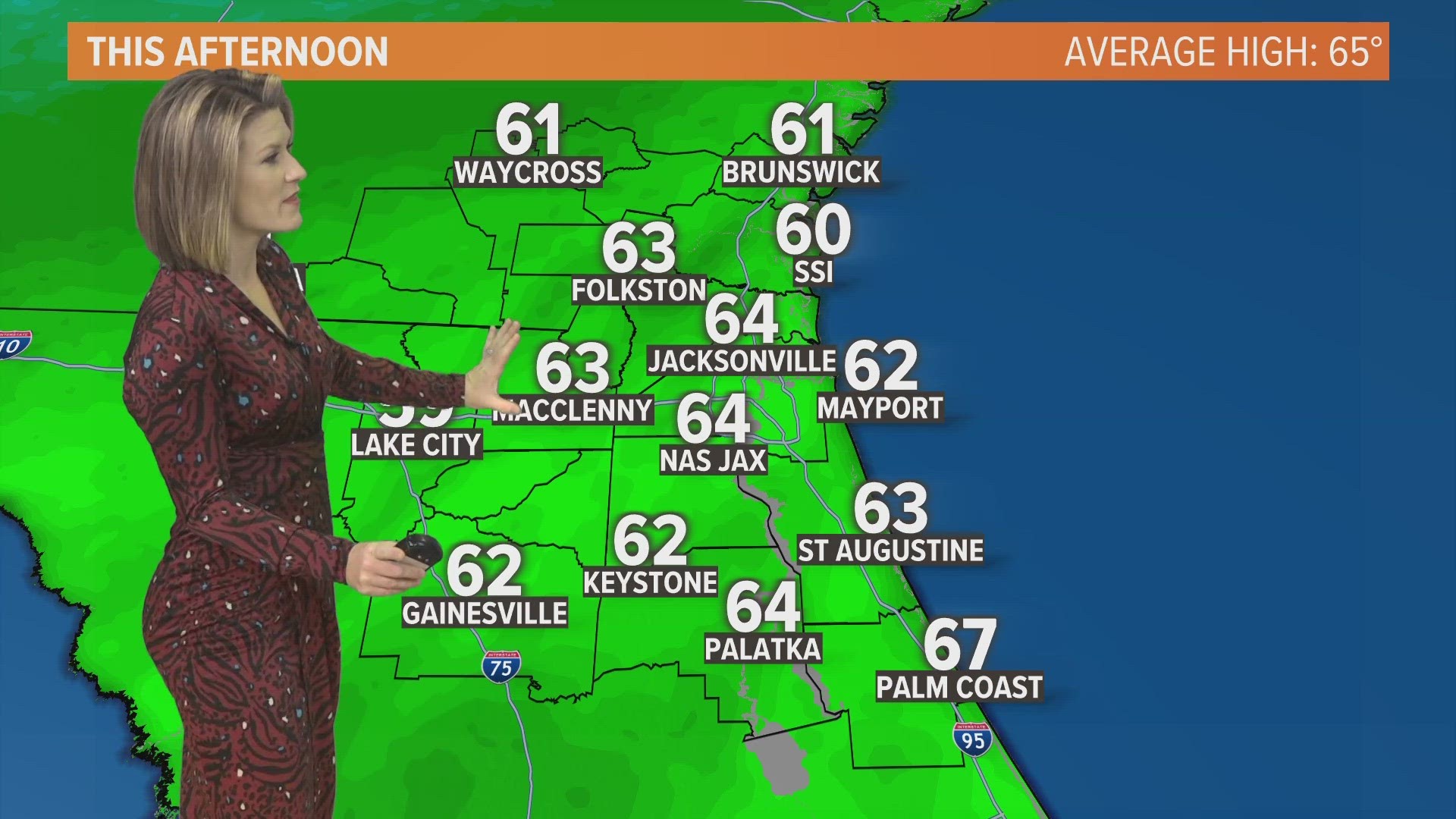
JACKSONVILLE, Fla. — An active El Nino pattern with cold fronts moving across the Jacksonville area every two to three days has become the norm this winter. People in Jacksonville have been making good use of their cold-weather gear.
If the winter blues have you itching for warmer days, then you're going to love the change in Mother Nature's starting lineup that's to come in the next week. Buckle up!
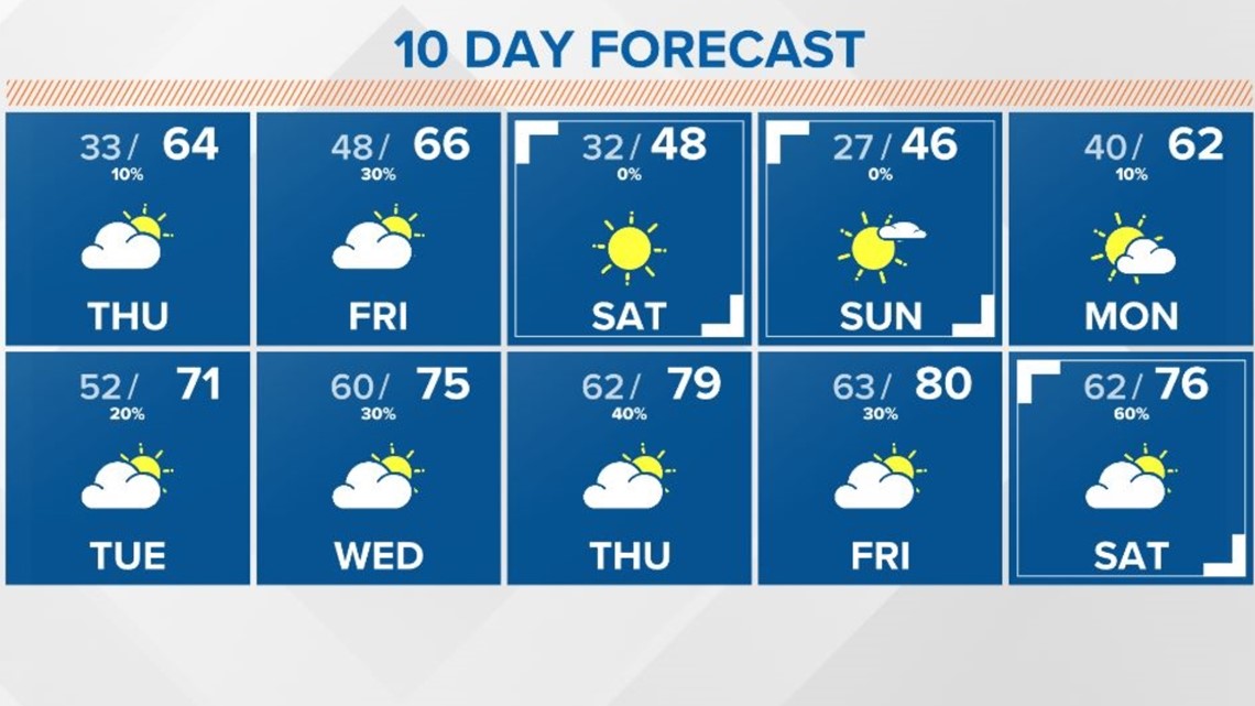
The next cold front to move across Jacksonville will be on Friday. This system will bring another shot of cold air with sub-freezing temperatures by Saturday and Sunday mornings. Our afternoons in the River City this weekend won't even make it out of the 40s even with the sun! Temperatures will begin to climb early next week as we watch an area of high-pressure travel across the country.
This high-pressure ridge will make the Eastern Seaboard "home" for at least the 6-10 day forecast and maybe even beyond. What does this mean?
Say hello to a "big bubble, no trouble" or a more spring-like weather pattern, and goodbye (for now) to the fronts reinforcing Old Man Winter's shots of cold air.
The 10-day forecast even features an 80-degree afternoon in Jacksonville, so you can plan to head to the beach in flip flops and ditch the parkas.
While the high-pressure system should keep the area mostly dry, there will be a few opportunities for rain. The best chance of showers looks to arrive Wednesday into Thursday as a warm front quickly shoots north across the area. Otherwise, we'll then look ahead in the long-range forecast to the final weekend in January.
Stay tuned!