
JACKSONVILLE, Fla. —
Weather Headlines:
- Temperatures rebound to above-average levels this week
- Watch out for rip currents at the beach
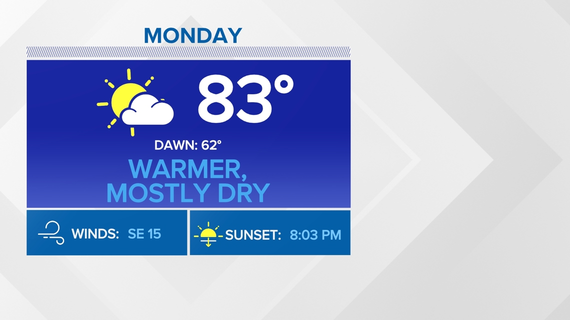
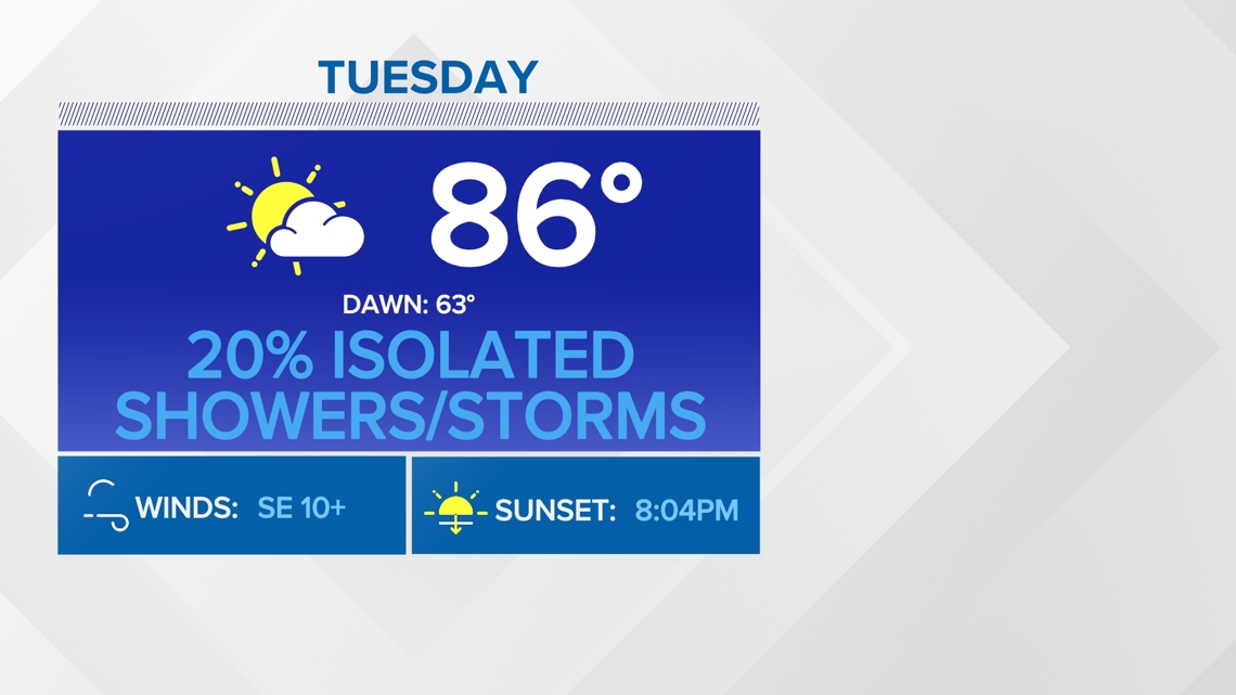
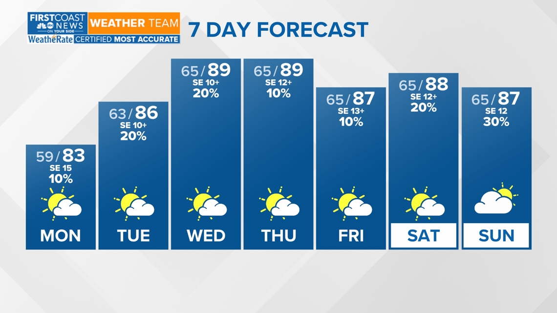
MONDAY - WEDNESDAY: Expect a warm-up as southeasterly winds dominate with passing clouds through the start of the workweek. High temperatures will be near in the low to middle 80s Monday, middle 80s Tuesday, and near 90 degrees by Wednesday afternoon. Isolated showers and storms are possible.
THURSDAY - FRIDAY: Temperatures will stay in the upper 80s with isolated showers and storms.
SUNDAY: There could be a slight uptick in the chance of rain due to a front to the north of Jacksonville. Winds will remain out of the southeast with partly cloudy skies.


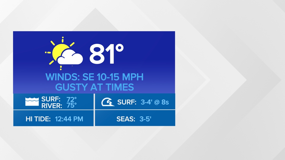


Rip currents are a risk we see all year round here across our southeast Georgia and northeast Florida coasts. Know what they are and how to escape them if you ever find yourself caught in a rip current.
Download the First Coast News app and sign up for severe weather alerts.