
JACKSONVILLE, Fla. — The Atlantic hurricane season runs from June 1 to November 30. And while we may seem like broken records when you hear us say, "always be prepared" and "stay tuned to updates," there really is no better advice.
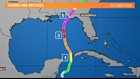
These tips held true in early October of 2018 when Potential Tropical Cyclone Fourteen formed in the northwestern Caribbean Sea. This storm would soon make history for the northern Gulf Coast just days later as a powerful, very dangerous category 5 hurricane.
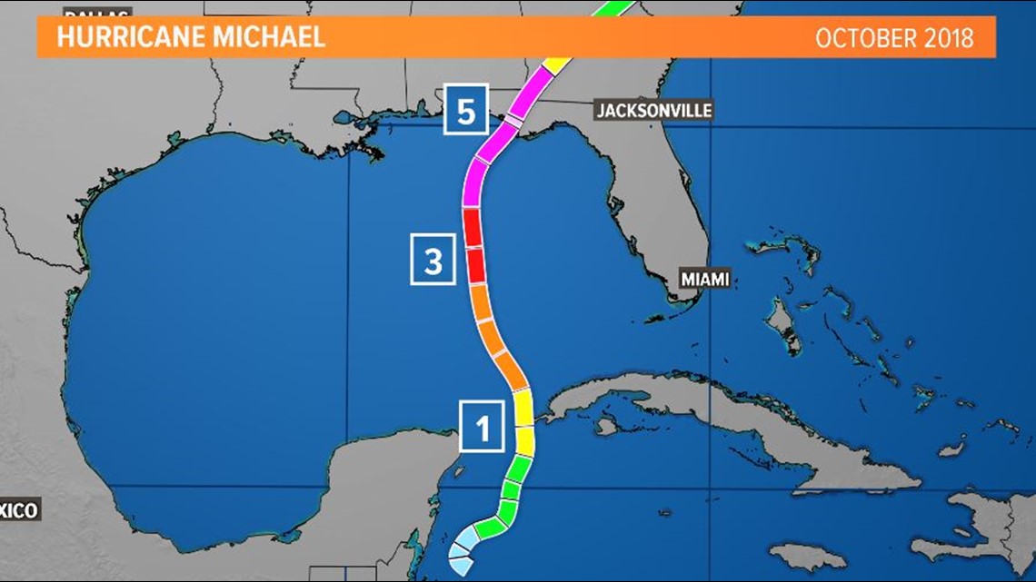
On October 6, the National Hurricane Center issued their first discussion at 5 p.m. EDT on PTC 14. Landfall was predicted at 86.5° W as a tropical storm with 70 mph winds on October 10.
"Although the intensity guidance is in excellent agreement that the system should strengthen through the forecast period, the global models indicate that shear caused by an upper-level trough over the Gulf of Mexico will persist through at least [the next] 48 hours," states the NHC discussion.
The discussion's key messages included, "The system could bring storm surge, rainfall, and wind impacts to portions of the northern Gulf Coast by mid-week, although it is too soon to specify the exact location and magnitude of these impacts."
The NHC's bottom line with these early discussions was "always be prepared" and "stay tuned to updates."
As we all know, PTC 14 soon became Tropical Depression 14, which soon became Tropical Storm Michael and then Hurricane Michael. This all happened in less than 48 hours.
By the 5th NHC discussion, the forecast called for a hurricane with 100 mph to make landfall at 85.7° W. The 9th NHC discussion had barely nudged landfall .2° to 85.9° W with a hurricane of 115 mph. The 13th NHC discussion called for a forecast landfall at 85.8° W with a hurricane of 125 mph. The wording in the succeeding discussions became more and more serious.
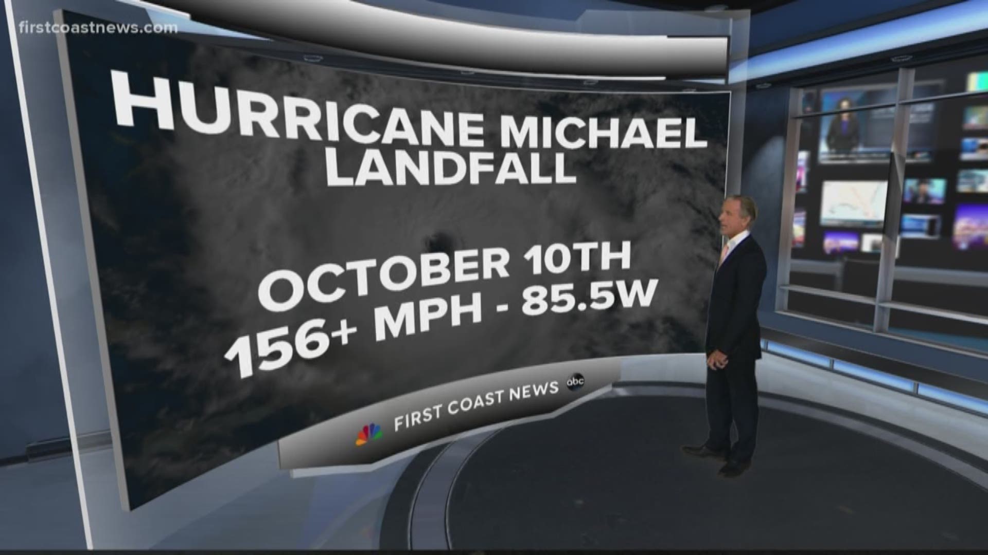
The intensity of the storm that made landfall was far worse. However, landfall predictions were quite impressive from the get-go. Michael's eye swept over Mexico Beach in the Florida Panhandle on October 10th at 2 p.m. EDT. This was only 60 miles from the initial forecast -- originally 86.5° W, verified at 85.5° W.

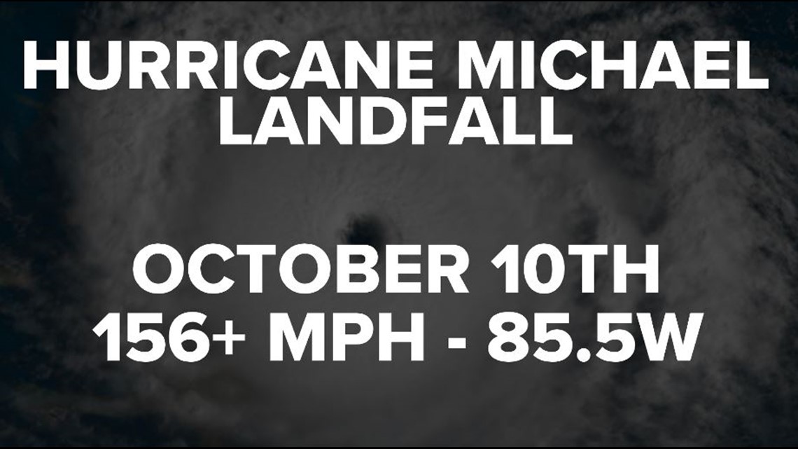
But instead of a landfalling storm with 125 mph winds, Michael was confirmed to have winds of 156+ mph. The damage was unprecedented for Mexico Beach and several people lost their lives.
So, what lessons can we take away from this storm? How can we, as meteorologists, and coastal residents assure we will be better prepared and lives will not be lost in the event of another "Michael?"
For starters, we learned storms like Michael and intensity rapidly. We learned how important initial messaging is for every potential tropical cyclone, tropical storm, or hurricane. We learned hurricanes can cause injuries and damage hundreds of miles away from the point of landfall.
We learned that if you're in an evacuation zone, you should listen to official orders and leave. We learned that maybe officials needs to improve logistics and create better ways to convince the public to evacuate. We learned that some coastal communities need to consider strengthening their infrastructure. We learned how important dune systems are in protecting those coastal communities.
We learned how a category 5 hurricane can knock out entire towns' cell phone, landline, internet, and radio communications not just during and directly after a storm, but for months and months in the future.
The list of lessons goes on.
Forecasting day-to-day weather can be tricky in itself, but tropical meteorology is an entirely different ball game. While track forecasting has improved leaps and bounds, intensity forecasting still needs improving. Even with better track forecasting in recent years, every storm is different and won't necessarily be as accurate as Michael's was.
At the end of it all, everything leads to this:
"Always be prepared" and "stay tuned to updates."